Wish technology could help predict, rather forecast tsunamis, hurricanes and catastrophic flash floods! So, many countries and lands wuld not have left devastated to this extent, especially million of people’s life would have been saved.
True, the past catastrophies can’t be undone, but the future world can be made a bit more secured with the next-generation satellites. It is however today, scientists from space are able to spot dangers of flood, and can perhaps with it, issue warnings for devastating mudslides – like the one in Leyte, Philippines that occurred on February 17, killing 1,500 people.
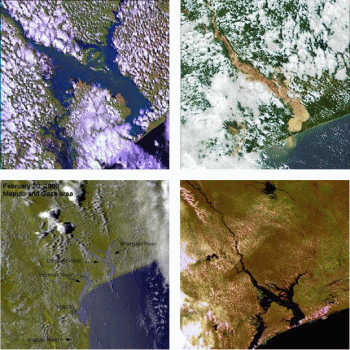
Robert Brakenridge and colleagues at Dartmouth College’s Dartmouth Flood Observatory in Massachusetts are presently developing one such satellite. This system can monitor soil moisture and atmospheric water vapor. It can also spot rivers overflowing their banks. It is a groundbreaking invention, especially for people living downstream.
Present, this process can provide an accurate assessment of water levels in 53 rivers worldwide. But, the USGS’s Asante hopes to carry the process one-step backward, to predict floods from rainfall measurements.

