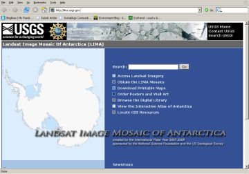
The most detailed, high-resolution map of Antarctica has been produced for the first time. More than a thousand images taken by the Landsat 7 satellite have been meticulously woven together by the NASA and the U.S. Geological Survey (USGS), Golden, Colo. researchers.
The created ‘Landsat Image Mosaic of Antarctica’ or LIMA provides an amazing view of the earth’s coldest continent. It has been created in details, which is 10 times greater compared to what was previously possible.
Robert Bindschadler, chief scientist of the Laboratory for Hydrospheric and Biospheric Sciences at NASA’s Goddard Space Flight Center, Greenbelt, Md. said,
These images give us incredibly detailed views of the Antarctic ice sheet surface and serve as maps for many locations that have never been mapped before.

To your interest, you can access the image mosaic of the detailed Antarctica via a website, being launched by NASA, the U.S. Geological Survey, and the British Antarctic Survey in Cambridge, England researchers.
The website was launched with support taken from the National Science Foundation. The site provides you with original images and close-ups of various Antarctic areas, all of which are available for download.
The research group will be releasing more and more images through this summer.

